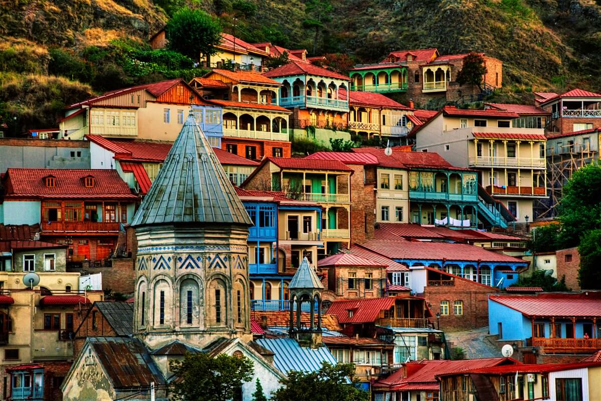
Territory: 4,506 km2
Population: 119,873
Center: Kapan
Highest elevation: 3904m
Lowest evaluation: 380m
The main branches of economy: industry, agriculture
Location
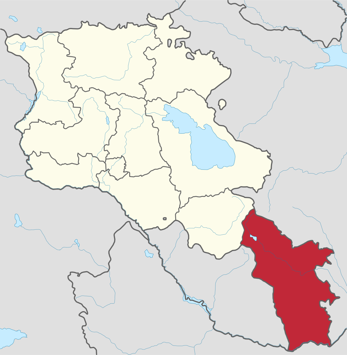
The Syunik province is in the southern part of Armenia. It is bordered by the Vayots Dzor Province from the north, Azerbaijan's Nakhchivan Autonomous Republic exclave from the west, the de facto independent Nagorno Karabakh Republic (Artsakh) from the east, and Iran from the south. Its capital and largest city is the city of Kapan.
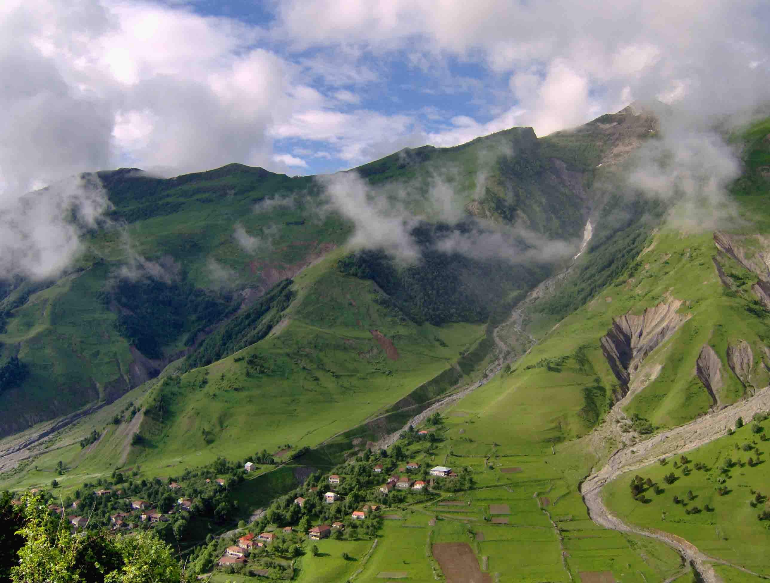
The highest part of the Iranian highlands on the territory of Armenia runs through this region - Zangesur mountain range, with its highest peak Kaputdschugh (3905 m).
History
Historically, Syunik was one of the 15 provinces of the ancient Kingdom of Armenia. The name of the province is derived from the ancient Armenian Siunia dynasty, who were governors of the historic province of Syunik since the 1st century. After the establishment of Soviet Union on this territory the Zangezur province, later on the Syunik region was formed.
Tourist Attraction
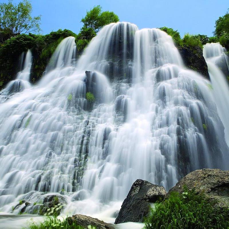
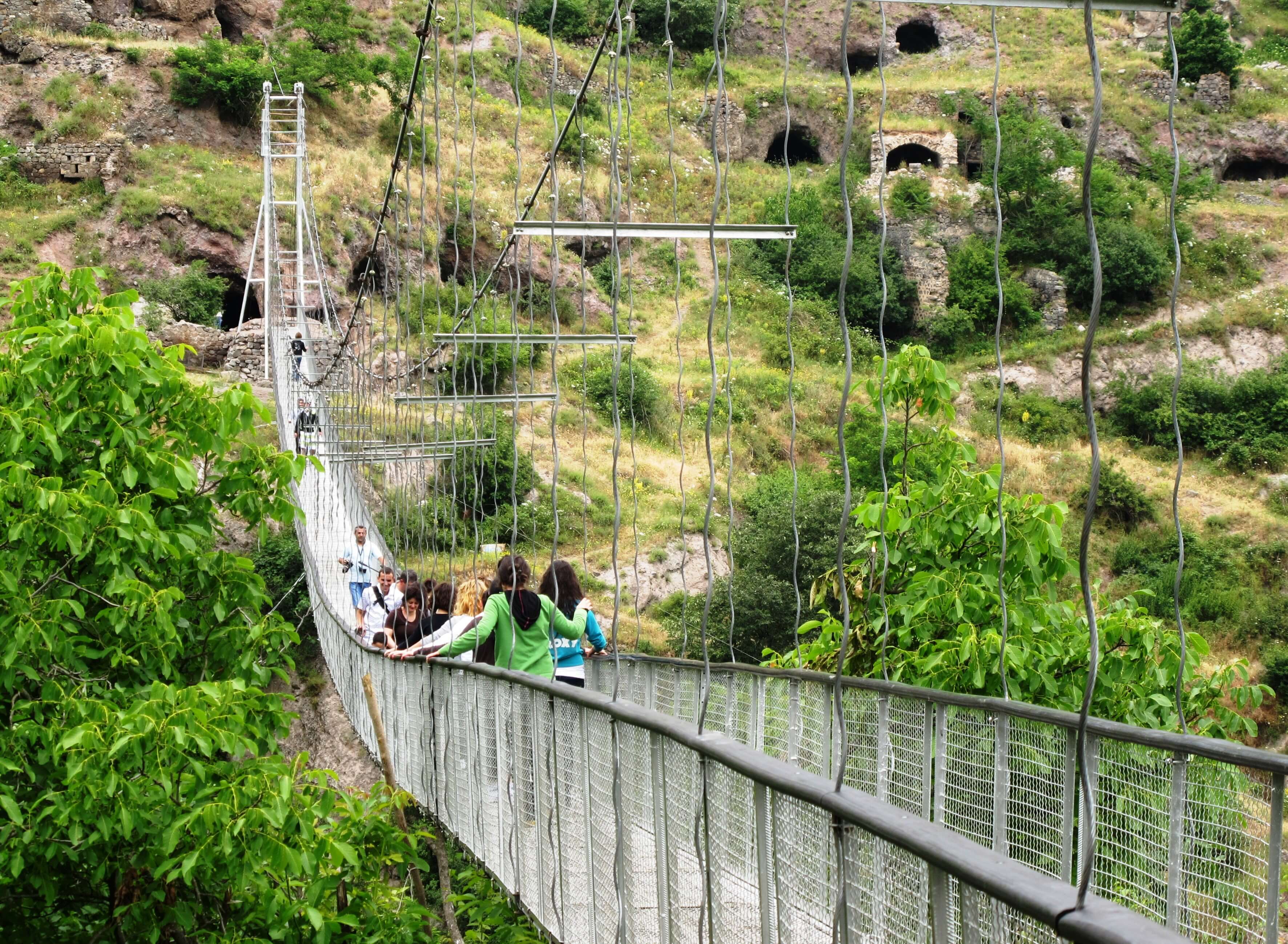
The region is known with the cultural and historical monuments – Vahanavank monastery (spiritual and cultural center, X-th century), "Shikahogh" state reserve, the largest waterfall of the Lesser Caucasus mountains Shaki waterfall, Tatev monastic complex (IX century) with the famous University from the 13.-14. cc. etc.
Economy
Syunik is rich in mineral resources: colored metals - copper, molybdenum, zinc, etc., and precious metals - gold, silver, as well as non-metallic mineral resources - building and facing stones, basalt, limestone, marble, granite, gemstones, etc.
The main branches of region industry are mining industry and production of electric energy, as well as agriculture.
As it’s the republic's southernmost province, it has a great strategic and economic importance for Armenia. It exports energy resources from Armenia to Iran and other regions. Recently, a new Armenia-Iran pipeline (140km long) has been opened Armenia-Iran motor-road passes through the region.

.jpg)


